
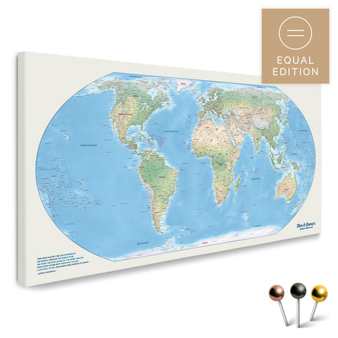
Price:From 159.00 €
Physical Push Pin World Map EQUAL EARTH Projection – Multicolor Terra
Customizable
7 Sizes


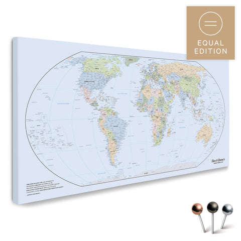
Price:From 159.00 €
Political Push Pin World Map EQUAL EARTH Projection – Multicolor Atlas
Customizable
7 Sizes
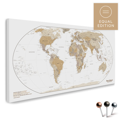
Price:From 159.00 €
Push Pin World Map EQUAL EARTH Projection – Multicolor Beige
Customizable
7 Sizes
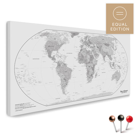
Price:From 159.00 €
Push Pin World Map EQUAL EARTH Projection – Multicolor Gray
Customizable
7 Sizes
Price:From 159.00 €
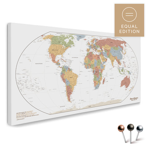
Push Pin World Map EQUAL EARTH Projection – Multicolor Sienna
Customizable
7 Sizes
Price:From 159.00 €
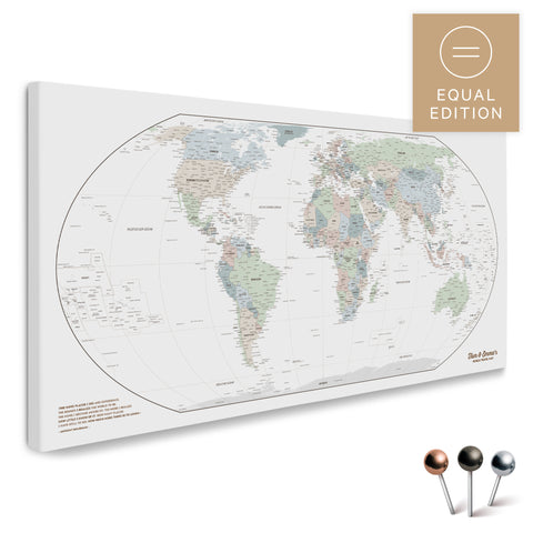
Push Pin World Map EQUAL EARTH Projection – Multicolor Light
Customizable
7 Sizes
Price:From 159.00 €
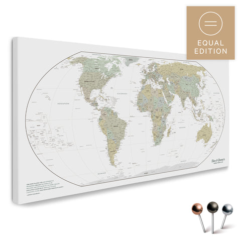
Push Pin World Map EQUAL EARTH Projection – Multicolor Sage
Customizable
7 Sizes
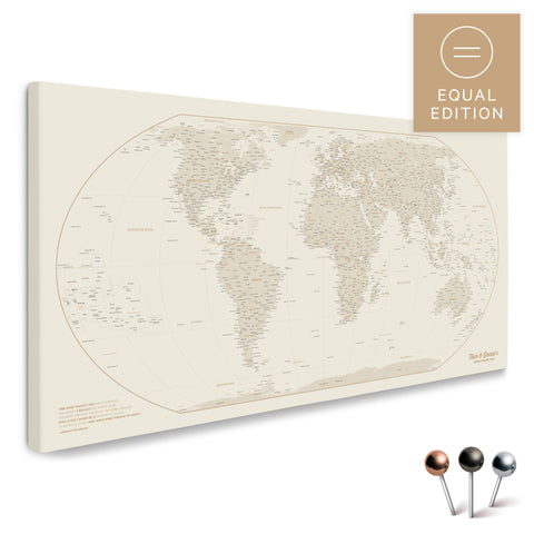
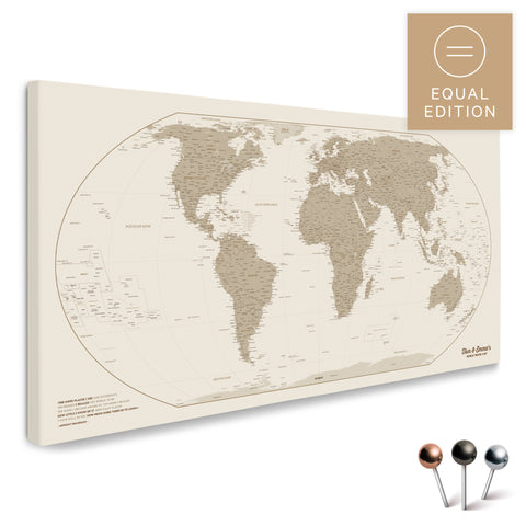
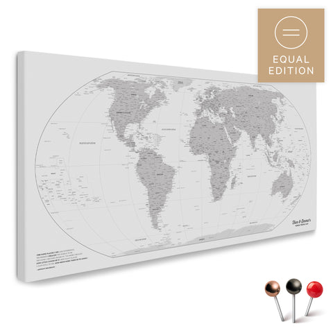
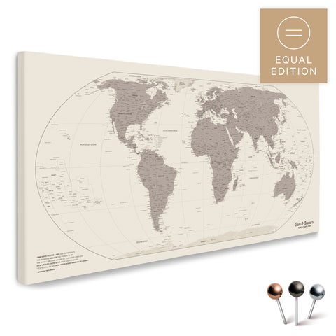
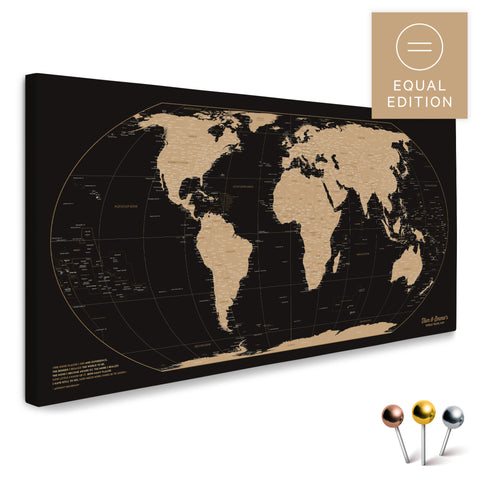
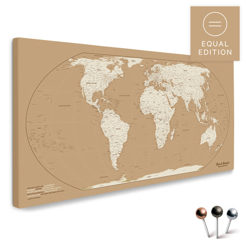
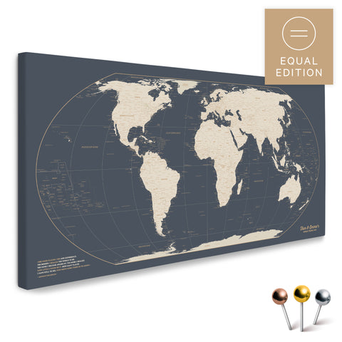
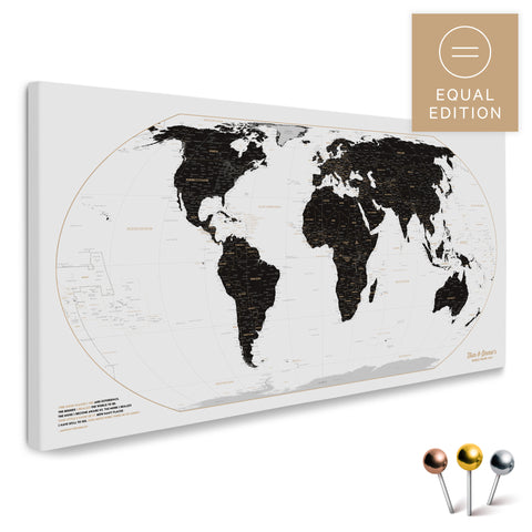
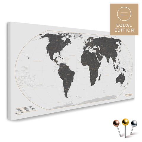
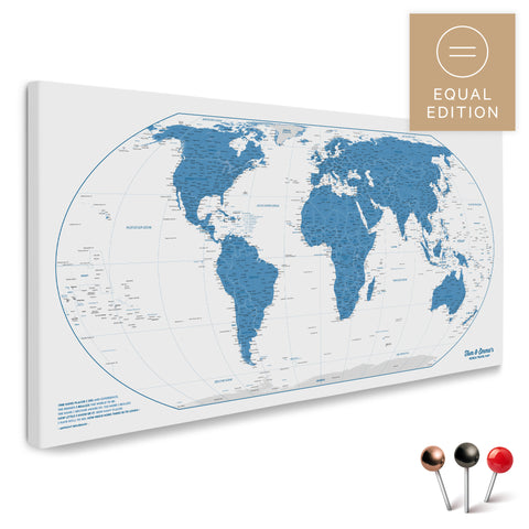
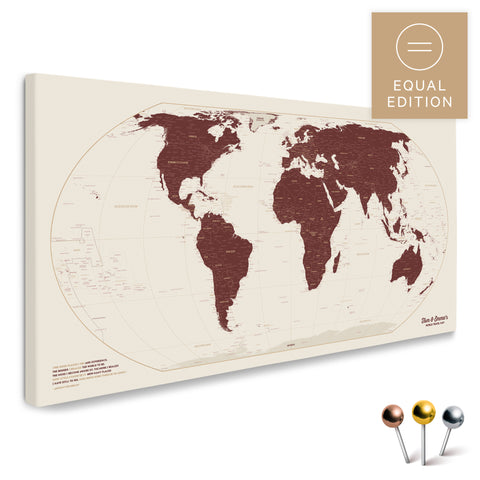
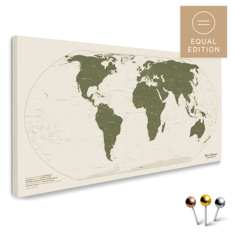


The world from a new perspective:
the Equal Earth projection
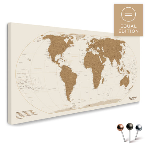
A world map that shows our Earth as it really is: With our new EQUAL Edition, we bring the Equal Earth projection to your wall. This world map shows the areas of countries and continents to scale in relation to one another, correcting the distortions found in conventional world maps. The result: a new, fascinating perspective on our planet!
Mercator vs. Equal Earth

— The classic world
Mercator projection
The Mercator projection shapes our image of the world like few other map projections. Developed in the 16th century, it is conformal: lines of constant bearing appear as straight lines. This makes it particularly suitable for navigation. To this day, it is used in maritime navigation and digital mapping applications, among other things. Our TRAVEL® world maps and ANTARCTICA® world maps are also based on this time-honored projection. But the Mercator projection has one major drawback: it significantly distorts the relative sizes of regions. The farther a region is from the equator, the larger it appears. As a result, Greenland and Russia look disproportionately large, while Africa and South America appear smaller by comparison.

— The New World
Equal Earth projection
The relatively young EQUAL EARTH projection takes a different approach. As an equal-area world map projection, it depicts the relative sizes of countries and continents accurately, making the true proportions of the Earth's land areas visible. Unlike the Mercator projection, regions far from the equator do not appear disproportionately large. For example, it clearly shows that Africa is around 14 times the size of Greenland. At the same time, Equal Earth retains the familiar, harmonious look of a classic world map. The projection was developed in 2018 by cartographers Šavrič, Patterson, and Jenny. In September 2026, the United Nations General Assembly also called for greater use of Equal Earth and other equal-area world maps.
Features of our EQUAL Edition

Modern design
Clean lines, balanced colors, modern typography – Breuer’s world maps in the Equal Earth projection reduce the world to its essentials without sacrificing important details. The minimalist design puts your pins in the spotlight, so you can keep your travels firmly in view.

High level of detail
Our world map in the Equal Earth projection offers plenty of detail: all country names, all capitals, and around 2,000 additional places. It also includes the smallest islands, all country borders, and a grid of lines of longitude and latitude.

For Pinning & Planning
Show where you’ve been—and where your next trip is going: Mark your favorite places with pins and connect them with fine route thread to map out your journeys. Step by step, you’ll make all your travels visible—a stylish eye-catcher on the wall and your very own travel journal.

High-quality production
Because good design deserves high-quality materials, we use a 100% cotton canvas from SIHL®. It impresses with its natural texture, printed using fine art printing (giclée), the same technique used for high-quality art prints. Made in Germany - entirely by hand.