
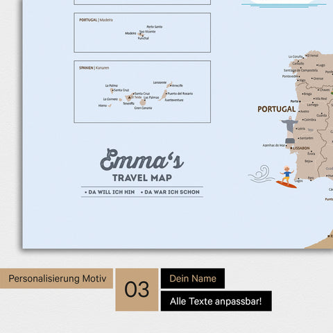

Europe Map for Kids Premium Poster – MINIVENTURES® Brown
incl. VAT & Shipping (GER) | plus Shipping (INTL)
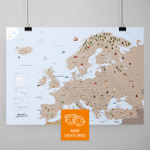
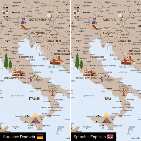
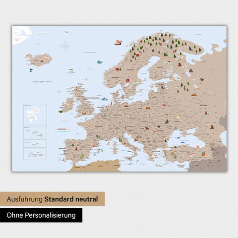
- Europe map for children to learn and discover: all country names + capitals + other important cities, islands, and seas
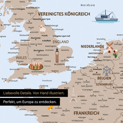
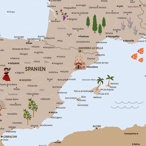
- Lovingly illustrated: with numerous hand-drawn illustrations of animals, people from different cultures, and famous landmarks
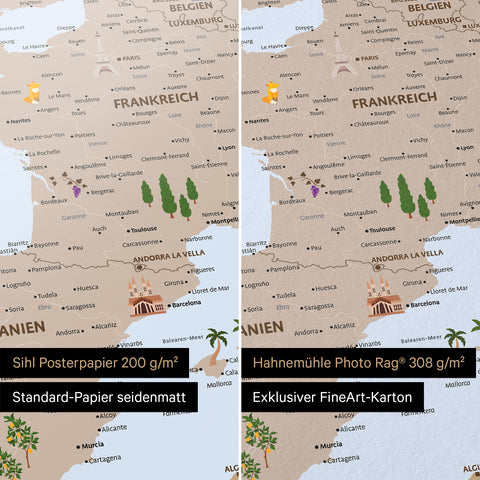
- Paper A: SIHL® poster paper 200 g/m² silk matte
- Paper B: Hahnemühle® Photo Rag® 308 g/m² fine art paper made of white cotton with exclusive texture (custom-made)
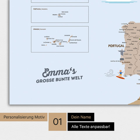
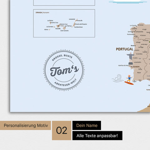
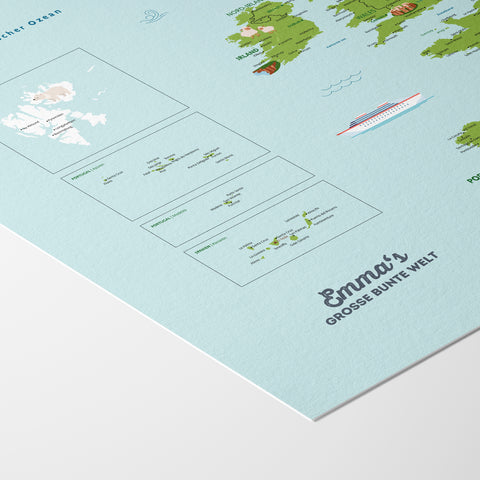
- Optional with free personalization
- Fine art print (2,400 dpi) for optimal readability
- Perfectly combinable with our separately available ↗ poster rails
- → Detailed product details see below


Production & Delivery Times


*Priority: Advanced express production outside of our usual production processes. This option can be added at checkout.
Delivery times outside Germany: +2 working days.
Suitable accessories
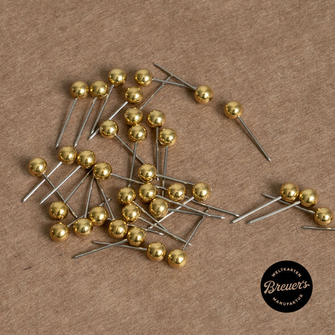
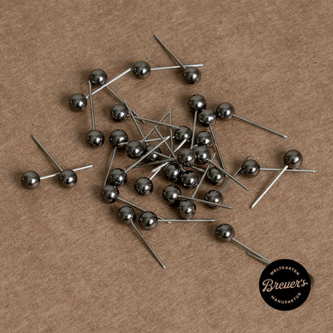
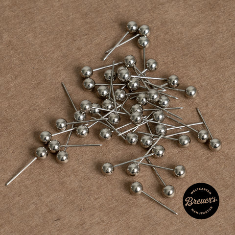
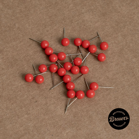

For little adventurers and great explorers:
The Europe map for children that sparks curiosity and imparts knowledge.
SCROLL TO DISCOVER

Every pin a new adventure. Every day a new discovery.
Our lovingly illustrated MINIVENTURES® Children's Europe Map is packed with details, offering something new to discover every time: all countries and capitals, exciting regions, animals – and many of Europe's most famous landmarks.
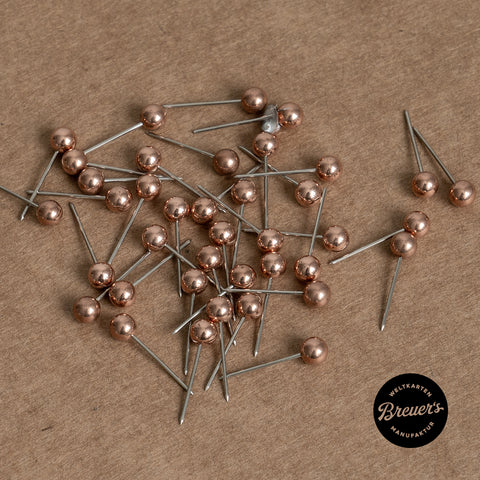
The MINIVENTURES® Europe Map for children turns every question into a little adventure – awakening the explorer in every child. Mark visited holiday destinations with magnetic pins, discover new countries, and learn geography playfully: Europe has never been so close.
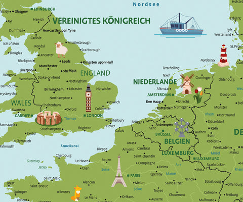
Reduced design. Lovingly illustrated.
Clear lines, balanced colors, child-friendly typography – the MINIVENTURES® Europe map for children simplifies the world to the essentials without missing important details. All countries, capitals, and major cities are included on the Europe map and clearly labeled – especially for little eyes.
The heart of Breuer's Europe maps for children lies in the numerous lovingly hand-drawn illustrations: wild animals in their natural habitats, people from their regions, famous landmarks, and much more.
Product details

Optional personalization

Optional accessories: Magnetic poster strips
Choose the type of paper
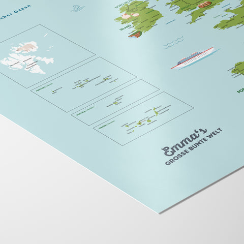
Sihl Poster Paper 200 g/m² Silk Matte
Hahnemühle Photo Rag® 308 g/m²
Level of Detail & Sizes
Level of Detail
All map formats contain the same number of locations / the same level of detail. Differences only exist in font sizes and proportions.
Recommended Sizes
140 cm and 160 cm – here all design elements are very harmoniously balanced and texts are perfectly readable.
Product Specifications
Description
Sihl® Poster Paper
Surface
Silk matte
Feature
Standard paper
Weight
200 g/m²
Fine-Art (2,400 dpi)
Shipping & Packaging
rolled
Description
Hahnemühle Photo Rag®
Surface
Matte, gently pronounced felt texture
Feature
Noble artist paper
Weight
308 g/m²
Fine-Art (2,400 dpi)
Shipping & Packaging
rolled
Good to know
The MINIVENTURES® Europe map is designed so that children can use it for many years: starting in preschool as a picture and discovery map (finding animals & illustrations, getting to know continents) – and later for reading, matching, and learning (countries, capitals, and many other places).
In short: it grows with them – from the first amazement to the real "I-know-where-that-is" moment.
With the MINIVENTURES® Europe map, children learn about the world playfully and visually – without the "textbook feeling." They understand connections ("Where is what?"), learn names, and become increasingly better at orienting themselves on the globe.
On the map, children will find, among other things:
- all country names
- capitals as well as other important cities
- islands, seas, and oceans
- numerous lovingly illustrated motifs (animals, people, landmarks)
This way, "Where is that?" naturally becomes: "Ah – I know that!"
Yes. The map uses child-friendly, easy-to-read typography and a clear color scheme so that labels do not get "lost" in the design. This is especially important for children's maps: Less visual noise, more orientation.
All MINIVENTURES® children's Europe maps are produced using fine art printing (giclée process). This means the world map is printed at a resolution of 2,400 dpi – which is many times higher than conventional digital printing methods.
By the way: We use water-based pigment inks. Besides UV resistance, the great advantage is that these colors are odorless, making them perfect for use in children's rooms, kindergartens, or schools.
They deliberately help with learning. The illustrations are not just "some cute thing on the side," but visual anchors: children remember them, point to them, ask questions – and that’s exactly how learning happens in everyday life.
Animals, people, and landmarks ensure that children:
- recognize countries more quickly
- retain terms more easily (because an image is associated with them)
- ask more questions – and thereby learn more
The illustrations are the part that turns a world map into an explorer experience.
Perhaps the best and most beautiful way to hang a poster is with our separately available magnetic wooden poster rails. They hold your poster securely, give it a high-quality look, and make hanging especially easy. We offer these poster rails up to a maximum size of DIN A0 or 118.9 cm width – longer rails would have to be shipped as bulky goods, which would make the shipping costs disproportionately expensive.
For larger posters than DIN A0, there are suitable alternatives:
Picture frames
If you want to give your poster a particularly high-quality look, a frame is a great choice. Additionally, it protects the poster from creases and waves.
Clamp rails or other poster rails
Especially for very large formats, simple clamp rails made of plastic or metal can be a practical alternative.
Powerstrips
Ideal if you want your poster to hold a bit more securely and want to avoid nails or screws.
A personalized map of Europe for children is a gift that not only looks beautiful but is used every day. It’s perfect for birthdays or starting school because it sparks curiosity, provides knowledge, and becomes a real eye-catcher in the child's room (or classroom).
And the best part: with free personalization, a beautiful world map becomes a truly personal gift.
You can find many more answers in our FAQ.